
IMD launches a map-based Decision Support System for cyclone and marine warnings
UPSC has already asked about this. Read the story with these questions in mind.
On 12 October 2026 the India Meteorological Department dedicated a Cyclone Warning and Marine Weather Services Decision Support System to the nation. The WebGIS platform shows cyclone track, intensity, winds, rainfall, storm surge and district-wise warnings on one map for disaster managers and the public.
- By
- IMD
- Date
- 12 Oct 2026
- Type
- WebGIS platform
- Shows
- Track, cone, surge, rain
IMD’s cyclone Decision Support System: what happened?
India’s cyclone forecasts are now good; the weak link is turning a bulletin into action in a district control room. A map that shows where the storm may go and what it will do there is meant to close that gap.
- The India Meteorological Department (IMD) dedicated its Cyclone Warning and Marine Weather Services Decision Support System (DSS), an interactive WebGIS platform, to the nation on 12 October 2026.
- It shows cyclone track and intensity with a cone of uncertainty, winds, district-wise rainfall warnings, storm surge and rainfall forecasts for river catchments.
What is the Pre-Cyclone Exercise Meeting?
- IMD has held it twice a year since 2008 to review preparedness before each cyclone season and check action on earlier decisions.
- This edition had about 230 participants from more than 30 organisations, including NDMA, NDRF, the Navy, Air Force, Coast Guard, Central Water Commission and coastal States.
- The date recalls Very Severe Cyclonic Storms Phailin (2013) and Hudhud (2014), both of which crossed the coast on 12 October.
Why does IMD’s cyclone Decision Support System matter?
- Disaster management: Location-specific hazard information for faster evacuation decisions.
- Fisheries and shipping: Marine weather on the same platform for coastal users.
What can Prelims ask on IMD’s cyclone Decision Support System?
- IMD is under the Ministry of Earth Sciences.
- Cone of uncertainty: the likely spread of a cyclone’s future track.
- Storm surge: abnormal rise of sea water pushed ashore by cyclone winds.
- Phailin (2013) and Hudhud (2014) crossed the coast on 12 October.
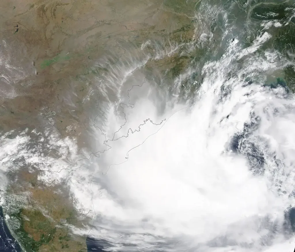
Image: https://commons.wikimedia.org/wiki/File:Tropical_Cyclone_Yaas_approaching_India_(MODIS_2021-05-25).jpg
How to use this in Mains
If asked: How has technology improved India's cyclone preparedness? Illustrate with recent initiatives. (GS-III)
Quote: “The WebGIS platform shows cyclone track, intensity, winds, rainfall, storm surge and district-wise warnings on one map for disaster managers and the public.”
Use it: Use it as your latest example in the body, after the Phailin-Hudhud success story.
Exam angle
Prelims: IMD, cone of uncertainty, storm surge. · Mains GS-III: early warning and disaster preparedness.
Practice MCQs
Original practice questions (not PYQs).
In a cyclone forecast map, the "cone of uncertainty" shows
Answer (b) & explanation
IMD DSS, PIB 12 Oct 2026.
Questions students ask about this
What has IMD launched?
A Cyclone Warning and Marine Weather Services Decision Support System, an interactive WebGIS platform, on 12 October 2026.
What does the platform show?
Cyclone track and intensity with a cone of uncertainty, winds, rainfall, storm surge, district-wise rainfall warnings and rainfall forecasts for river catchments.
Why was 12 October chosen?
Cyclones Phailin (2013) and Hudhud (2014), both well predicted by IMD, crossed the coast on 12 October.
Keep studying
Go deeper
Official source: PIB: IMD Dedicates Cyclone Warning and Marine Weather Services Decision Support System to the Nation, 12 Oct 2026
facts from cited sources only; faculty review pending