
The Himalayas: Formation, Parallel Ranges, Regional Divisions, Passes and Significance for India (UPSC Notes + PYQs)
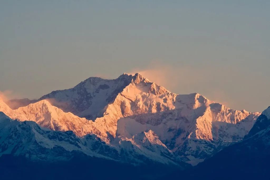
UPSC has already asked about this. Read the story with these questions in mind.
Background: the youngest great mountains
The Himalaya stretch for about 2,400 km in an arc from the Indus gorge in the west to the Brahmaputra gorge in the east, with a width of 150 to 400 km. They include the world’s highest peaks and are among the youngest mountains on Earth, still rising by a few millimetres a year. For India they are more than a border. They are the source of perennial rivers like the Ganga, Yamuna, Indus and Brahmaputra, which feed the plains where hundreds of millions live. They block cold winds from Central Asia and force the monsoon winds to shed rain over the subcontinent. They hold forests, glaciers and a rich variety of plants and animals, and are home to many communities with distinct cultures. Their geology also makes them prone to earthquakes, landslides and floods.
Formation
The Tethys Sea between Gondwana and Angaraland closed as the Indian plate moved north. Sediments folded upward. The plate still moves north by roughly 5 cm a year, which is why the region is seismically active and the mountains are still rising.
- 1Indian plate breaks from Gondwana
- 2Plate moves north; Tethys Sea narrows
- 3Collision with Eurasian plate
- 4Tethys sediments folded and uplifted
- 5Ranges still rising today
Three parallel ranges
| Range | Average height | Features |
|---|---|---|
| Himadri (Greater) | About 6,000 m | Highest peaks (Everest, Kanchenjunga, Nanda Devi); granite core; glaciers |
| Himachal (Lesser) | 3,700-4,500 m | Pir Panjal, Dhaula Dhar, Mahabharat ranges; hill stations; valleys like Kashmir, Kangra, Kullu |
| Shiwalik (Outer) | 900-1,100 m | Unconsolidated sediments; longitudinal valleys called “duns” (Dehradun, Kotli Dun) |
North of the Himadri lie the Trans-Himalaya: Karakoram, Ladakh and Zaskar ranges.
West-to-east divisions (by rivers)
- Punjab Himalaya: between the Indus and Sutlej.
- Kumaon Himalaya: between the Sutlej and Kali.
- Nepal Himalaya: between the Kali and Teesta.
- Assam Himalaya: between the Teesta and Dihang (Brahmaputra).
Beyond the Dihang gorge, the Purvanchal hills (Patkai, Naga, Mizo, Garo-Khasi-Jaintia is an extension of the plateau) curve south.
- Drier, especially in rain shadow
- Higher snowline
- Temperate and alpine forests
- Cold deserts in Ladakh
- Very wet; heavy monsoon rain
- Lower snowline
- Dense tropical and subtropical forests
- Rich biodiversity hotspot
Significance
- Climatic barrier against cold Central Asian winds; forces monsoon rainfall.
- Source of perennial rivers (Indus, Ganga, Brahmaputra) fed by glaciers.
- Hydropower, forests, medicinal plants, tourism and pilgrimage.
- Strategic frontier with China and Pakistan; key passes like Zoji La, Shipki La, Nathu La, Bomdi La.
The ranges in detail
| Range | Average height | Features |
|---|---|---|
| Trans-Himalaya | About 6,000 m | Karakoram, Ladakh, Zaskar; K2 (Godwin-Austen); Siachen glacier |
| Greater Himalaya (Himadri) | About 6,000 m | Everest, Kanchenjunga, Nanda Devi; granite core; glaciers |
| Lesser Himalaya (Himachal) | 3,700-4,500 m | Pir Panjal, Dhauladhar, Mahabharat; hill stations like Shimla, Mussoorie |
| Shiwaliks (Outer Himalaya) | 900-1,100 m | Made of river deposits; duns such as Dehradun |
Between the ranges lie longitudinal valleys. The Kashmir valley lies between the Pir Panjal and the Greater Himalaya, while flat ‘duns’ such as Dehradun, Kotli Dun and Patli Dun lie between the Lesser Himalaya and the Shiwaliks.
A fragile system
Young geology, steep slopes and heavy rain make the region prone to landslides, glacial lake outburst floods (South Lhonak, 2023) and earthquakes. Joshimath (2023) showed the cost of building without carrying-capacity studies. The National Mission for Sustaining the Himalayan Ecosystem (NMSHE) is one of the eight missions under the NAPCC.
Climate role of the Himalaya
The Himalaya act as a climatic wall. In winter they stop the cold, dry winds of Central Asia from entering the plains, which keeps north India warmer than places at similar latitudes. In summer they force moisture-laden monsoon winds to rise, cool and shed rain, especially on the eastern side, which is why Meghalaya and the north-eastern hills receive some of the heaviest rainfall in the world. The Tibetan plateau, heated in summer, helps set up the low pressure that pulls the monsoon in, and the high-altitude westerly jet stream shifts north of the Himalaya when the monsoon arrives. Glaciers act as water towers, releasing meltwater in the dry season. This is why scientists call the region the Third Pole.
Passes of the Himalaya
| Pass | State or UT | Connects |
|---|---|---|
| Zoji La | Ladakh | Srinagar and Leh |
| Khardung La | Ladakh | Leh and Nubra valley |
| Rohtang | Himachal Pradesh | Kullu valley and Lahaul-Spiti |
| Shipki La | Himachal Pradesh | India and Tibet, along the Sutlej |
| Lipulekh | Uttarakhand | India and Tibet; route to Kailash-Mansarovar |
| Nathu La | Sikkim | India and Tibet; border trade post |
| Bomdi La | Arunachal Pradesh | Assam plains and Tawang |
Why the Himalaya are fragile
Young mountains have weak, fractured rocks and steep slopes. The region lies in seismic zones IV and V, and major thrust faults run along the ranges. Heavy rain, cloudbursts and glacier melt trigger landslides and flash floods, as seen in Kedarnath (2013) and Chamoli (2021). Glacial lakes can burst and send walls of water downstream, a hazard called a glacial lake outburst flood. Human activity adds stress: road cutting without slope protection, tunnels and dams, deforestation, unplanned towns on slopes and heavy tourism. The sinking of Joshimath in Uttarakhand in 2023 drew attention to building on old landslide material. Responses include carrying capacity studies for hill towns, strict zoning, slope stabilisation, early warning for glacial lakes, and the National Mission for Sustaining the Himalayan Ecosystem under the National Action Plan on Climate Change.
Writing on the Himalaya in Mains
Structure answers around formation, divisions, significance and fragility. Use a north-south cross-section sketch showing the four ranges and the duns, and a map with the rivers that divide the range into Punjab, Kumaon, Nepal and Assam Himalaya. Close with sustainable mountain development rather than blanket opposition to all infrastructure.
Himalayas: UPSC angle
For UPSC CSE
Prelims: ranges, divisions, passes, peaks, states covered. Mains GS-I/III: formation, significance, disasters and sustainable development.
Himalayas UPSC PYQs (Prelims)
Questions UPSC has actually asked, from the official papers. Pick an option to check yourself.
When you travel in Himalayas, you will see the following :
– 1. Deep gorges
– 2. U-turn river courses
– 3. Parallel mountain ranges
– 4. Steep gradients causing land-sliding
Which of the above can be said to be the evidences for Himalayas being young fold mountains?
The Himalayas are still rising, so rivers cut deep gorges and take sharp U-turns (syntaxial bends). The parallel ranges (Shiwalik, Lesser, Greater) are still sharp-crested, and steep, unstable slopes cause landslides. Old mountains like the Aravallis are worn down and gentle. Answer as per the official UPSC key · Battle IAS PYQ bankAnswer (d) & why
Consider the following statements :
– 1. In India, the Himalayas are spread over five States only.
– 2. Western Ghats are spread over five States only.
– 3. Pulicat Lake is spread over two States only.
Which of the statements given above is/are correct ?
The Indian Himalayas cross many states and UTs: J&K, Ladakh, Himachal, Uttarakhand, Sikkim, West Bengal, Arunachal and others. The Western Ghats run through six states: Gujarat, Maharashtra, Goa, Karnataka, Kerala and Tamil Nadu. Pulicat lagoon lies in Andhra Pradesh and Tamil Nadu only. Answer as per the official UPSC key · Battle IAS PYQ bankAnswer (b) & why
Consider the following pairs :
| Peak | Mountains
| 1. Namcha Barwa | Garhwal Himalaya
| 2. Nanda Devi | Kumaon Himalaya
| 3. Nokrek | Sikkim Himalaya
Which of the pairs given above is/are correctly matched ?
Namcha Barwa is the eastern anchor of the Himalaya, in Tibet, where the Tsangpo bends. Nanda Devi is in the Kumaon Himalaya (Uttarakhand). Nokrek is the highest peak of the Garo Hills in Meghalaya, and a biosphere reserve. Answer as per the official UPSC key · Battle IAS PYQ bankAnswer (b) & why
The Brahmaputra, Irrawady and Mekong rivers originate in Tibet and flow through narrow and parallel mountain ranges in their upper reaches. Of these rivers, Brahmaputra makes a “U” turn in its course to flow into India. This “U” turn is due to
At the eastern end of the Himalaya, near Namcha Barwa, the mountain chain bends sharply south in a hairpin called the eastern syntaxis. The Tsangpo follows this bend, cutting a deep gorge, and turns back as the Siang/Brahmaputra into India. Answer as per the official UPSC key · Battle IAS PYQ bankAnswer (b) & why
Mains PYQs on this topic
No UPSC Mains question from 2023-2026 is directly on this topic. Older papers (2013-2022) will be added as the Mains bank grows.
Quick quiz
Longitudinal valleys between the Lesser Himalaya and the Shiwaliks are called
Dehradun is the best known.Answer (a)
The Kumaon Himalaya lies between the rivers
Divisions are by rivers.Answer (b)
Pir Panjal is part of the
Himachal or Lesser range.Answer (b)
FAQs
How were the Himalayas formed?
By the collision of the Indian and Eurasian plates and the folding of Tethys Sea sediments.
Why are the Himalayas called young fold mountains?
They formed relatively recently in geological time and are still rising.
Which is the highest peak in India?
Kangchenjunga (8,586 m), on the Sikkim-Nepal border.
What are the Purvanchal hills?
The eastern hills of the Himalaya system along India’s border with Myanmar.
What is a dun?
A flat longitudinal valley between the Lesser Himalaya and the Shiwaliks, such as Dehradun.
Why do the Eastern Himalaya get more rain?
The Bay of Bengal branch of the monsoon strikes them directly and the moist winds rise steeply, shedding heavy rain.
What is a glacial lake outburst flood?
A sudden release of water from a lake held behind a glacier or moraine, causing a flash flood downstream.
Spotted an error? Tell us. We correct within 48 hours.
Image: Aaron Ostrovsky, Wikimedia Commons, CC BY-SA 2.0
How to use this in Mains
If asked: Discuss the significance of the Himalayas for India. (GS-I)
Quote: “Climatic barrier against cold Central Asian winds; forces monsoon rainfall.”
Use it: Use as the first significance point.
In the news
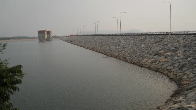
Pumped storage hydropower: India’s roadmap for 100 GW of ‘water batteries’ by 2035-36
A PIB backgrounder of 19 October 2026 explains how pumped storage projects (PSPs) will store solar and wind power for India’s grid. India runs 7.43 GW of pumped storage today, is building 15.87 GW more and has an assessed potential of 345.38 GW. A roadmap aims to add about 100 GW between 2025-26 and 2035-36.
19 Oct 2026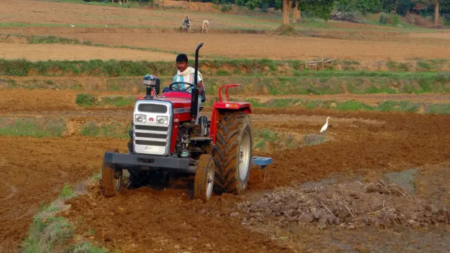
Khet Bachao Abhiyan: Centre reviews 22 October to 30 November farm campaign with States
On 17 October 2026 Union Agriculture Minister Shivraj Singh Chouhan reviewed preparations for the Khet Bachao Abhiyan with agriculture ministers of 11 States and UTs. The campaign runs from 22 October to 30 November 2026. About 4,150 teams of Krishi Vigyan Kendra and ATMA staff, with over 12,000 scientists and officials, plan around 1.5 lakh meetings with farmers on soil health, crop residue, balanced fertiliser use and key schemes.
17 Oct 2026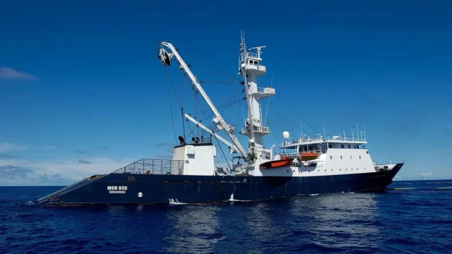
India to accede to the Southern Indian Ocean Fisheries Agreement (SIOFA)
On 14 October 2026 the Centre approved India's accession to the Southern Indian Ocean Fisheries Agreement. India, a Cooperating Non-Contracting Party since 2022, will become a full Contracting Party. Indian vessels can then fish squids, toothfish, alfonsino and other non-migratory stocks in the SIOFA area and join its scientific and compliance bodies.
14 Oct 2026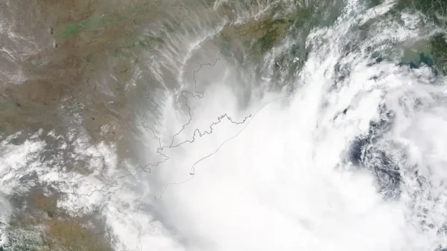
IMD launches a map-based Decision Support System for cyclone and marine warnings
On 12 October 2026 the India Meteorological Department dedicated a Cyclone Warning and Marine Weather Services Decision Support System to the nation. The WebGIS platform shows cyclone track, intensity, winds, rainfall, storm surge and district-wise warnings on one map for disaster managers and the public.
13 Oct 2026