
Weather Forecasting in India and Mission Mausam: IMD, Numerical Models, Doppler Radars, Bharat Forecast System, Supercomputers, Weather Modification and Early Warnings (UPSC Notes + PYQs)
UPSC has already asked about this. Read the story with these questions in mind.
Why forecasts matter
In October 1999, a super cyclone struck Odisha and killed nearly ten thousand people. In October 2013, Cyclone Phailin, of similar strength, hit almost the same coast, but fewer than fifty people died, because accurate forecasts allowed close to a million people to be evacuated in time. That contrast sums up the value of weather science. Good forecasts save lives in cyclones, floods, heatwaves and lightning, which kills more Indians every year than any other single natural hazard. They also save money: farmers time sowing and spraying, power grids plan for solar and wind output, airlines and ships plan routes, and cities prepare drains before heavy rain.
Yet India’s weather is among the hardest in the world to predict. The monsoon is shaped by the Himalayas, the Indian Ocean, El Niño and La Niña in the Pacific, the Indian Ocean Dipole and the Madden-Julian Oscillation. Tropical weather changes fast, and climate change is making extreme rain bursts, cloudbursts and heatwaves more frequent and more localised.
Who forecasts India’s weather
| Body | Role |
|---|---|
| India Meteorological Department (IMD), founded 1875 | Official forecasts and warnings, observation network, cyclone warnings for the north Indian Ocean as a WMO Regional Specialised Meteorological Centre |
| Indian Institute of Tropical Meteorology (IITM), Pune | Research on monsoon and climate; runs the Arka supercomputer and seasonal models |
| National Centre for Medium Range Weather Forecasting (NCMRWF), Noida | Numerical weather prediction models; runs the Arunika supercomputer |
| INCOIS, Hyderabad | Ocean state forecasts, tsunami and high wave warnings |
| ISRO | Weather satellites such as INSAT-3D, 3DR and 3DS |
All except ISRO fall under the Ministry of Earth Sciences (MoES). IMD celebrated its 150th anniversary in January 2025, when the Prime Minister formally launched Mission Mausam.
How a forecast is made
A forecast starts with observations: temperature, pressure, humidity and wind from ground stations, weather balloons (radiosondes), ships, buoys, aircraft, radars and satellites. These are fed into numerical weather prediction models, which divide the atmosphere into a three-dimensional grid and solve the equations of fluid motion and heat at each point. The finer the grid, the more local the forecast, but the more computing power is needed. Results are then interpreted by forecasters and issued as impact-based warnings using a colour code: green, yellow, orange and red.
Forecasts are of several kinds: nowcasts for the next few hours, used for thunderstorms and lightning; short and medium range forecasts up to ten days; extended range forecasts for two to four weeks; and seasonal forecasts such as the monsoon outlook issued in April and June.
- 1Observations: stations, radars, satellites, balloons
- 2Data assimilation
- 3Numerical models on supercomputers
- 4Forecaster interpretation and AI tools
- 5Colour-coded impact-based warning
Mission Mausam: components
- Observations: dense networks of Doppler weather radars, wind profilers, radiosondes, automatic weather stations and rain gauges, aiming to cover the whole country, especially the Himalayas and the North-East.
- Computing: in September 2024 two High Performance Computing systems were commissioned: Arka at IITM Pune and Arunika at NCMRWF Noida, together about 20 petaflops.
- Better models: the Bharat Forecast System (BFS), launched in May 2025 and developed by IITM Pune, runs at about 6 km resolution, among the finest of any global operational model, and can give forecasts at the level of clusters of panchayats.
- AI and machine learning: blending physics-based models with AI for nowcasting and extreme events.
- Weather management research: a cloud chamber at IITM to study cloud physics, with long-term research on rain enhancement, hail and fog suppression and lightning control.
- Dissemination: forecasts to farmers, fishermen and disaster managers through apps such as Mausam, Meghdoot and Damini, and through panchayat-level weather services.
- ObserveRadars, profilers, sensors
- ComputeArka and Arunika
- ModelBharat Forecast System, AI
- ManageCloud physics research
Earlier milestones
| Year | Step |
|---|---|
| 1875 | IMD set up |
| 1982 | INSAT-1A brings satellite meteorology |
| 2006 | Ministry of Earth Sciences created |
| 2012 | National Monsoon Mission for dynamic monsoon models |
| 2013-2020 | Big gains in cyclone track forecasts; error reduced sharply |
| 2024 | Mission Mausam approved; Arka and Arunika commissioned |
| 2025 | Bharat Forecast System launched |
Impact-based forecasting
A forecast that says “heavy rain likely” is less useful than one that says “low-lying roads in these wards may flood after 4 pm; avoid travel”. IMD has moved to impact-based forecasts and risk-based warnings, combining weather predictions with data on exposure and vulnerability, such as population, crops, roads and drainage. Heat action plans in cities like Ahmedabad, launched after the 2010 heatwave, show how a forecast linked to a ready plan of cool shelters, water points and hospital readiness can cut deaths sharply. Mission Mausam aims to make such linked warnings the norm across districts.
Why the mission matters
- Disaster risk reduction: India supports the UN’s Early Warnings for All goal by 2027 and the Sendai Framework.
- Agriculture: about half of farmland is rain-fed; block-level agro-advisories can reduce losses.
- Energy transition: solar and wind need accurate short-term forecasts to balance the grid.
- Health: heat action plans depend on heatwave forecasts.
- Urban floods: cities like Mumbai, Chennai and Bengaluru need high-resolution rainfall nowcasts.
- Neighbourhood: IMD’s regional role lets India provide forecasts and warnings to neighbours in South Asia.
- Complex monsoon drivers
- Himalayan terrain
- Fast-changing tropical systems
- Sparse observations in hills and oceans
Challenges
- Observation gaps: radar coverage in hilly regions remains thin, and cloudbursts there are very local.
- Extreme events: models still struggle with sudden, intense, small-scale rainfall, as seen in the Wayanad landslides (2024) and Himalayan flash floods.
- Last mile: warnings often fail to reach the farmer or fisher in a usable language and time.
- Skills: India needs more atmospheric scientists, data scientists and forecasters.
- Weather modification: cloud seeding has uncertain results and raises ethical and legal questions.
- Data sharing: State agencies, private weather firms and IMD use different networks; standards and sharing are weak.
Way forward
Complete radar and automatic weather station coverage, especially in the Himalayas. Combine physics-based models with AI, as global centres now do, while building Indian datasets. Make warnings impact-based and hyper-local, delivered in local languages through mobile, radio and panchayats. Train forecasters and create career paths in atmospheric science. Set clear rules for private weather services and data sharing. Fund long-term research on monsoon variability and climate change, so that India not only forecasts but also anticipates how its weather is changing.
PYQ trend
Prelims has asked about the Bharat Forecast System and about cyclones and monsoon factors. Mains GS-I asks about cyclones, monsoon and climate-smart agriculture; GS-III about disaster management.
Mission Mausam: UPSC angle
For UPSC CSE
Prelims: institutions, BFS, supercomputers, monsoon factors. Mains GS-I: climatology, cyclones; GS-III: disaster management, science and technology, agriculture.
Mission Mausam UPSC PYQs (Prelims)
Questions UPSC has actually asked, from the official papers. Pick an option to check yourself.
Which of the following statements with regard to India’s indigenous new high resolution weather model, the ‘Bharat Forecast System,’ is/are correct ?
– 1. Its objective is to generate forecasts at the Panchayats cluster level.
– 2. It was developed by IIT Delhi.
Select the answer using the code given below :
The Bharat Forecast System (2025) runs at about 6 km resolution, fine enough for forecasts at the level of panchayat clusters. It was developed by the Indian Institute of Tropical Meteorology, Pune, and runs on the Arka supercomputer, not at IIT Delhi. Answer as per the official UPSC key · Battle IAS PYQ bankAnswer (a) & why
Mains PYQs on this topic
No UPSC Mains question from 2023-2026 is directly on this topic. Older papers (2013-2022) will be added as the Mains bank grows.
Quick quiz
The Bharat Forecast System was developed by
IITM Pune.Answer (b)
Mission Mausam is under which ministry?
Ministry of Earth Sciences.Answer (b)
Arka and Arunika are
HPC systems at IITM and NCMRWF.Answer (b)
FAQs
What is Mission Mausam?
A ₹2,000 crore mission approved in 2024 to improve weather observation, modelling, computing and forecasting in India, and to research weather management.
What is the Bharat Forecast System?
An indigenous global weather model launched in 2025 by IITM Pune, running at about 6 km resolution.
What is a Doppler weather radar?
A radar that measures the location, intensity and movement of rain and wind inside storms, essential for nowcasting thunderstorms and cyclones.
What is nowcasting?
Forecasting weather for the next few hours, mainly for thunderstorms, lightning and heavy rain.
What are Arka and Arunika?
High performance computing systems commissioned in 2024 at IITM Pune and NCMRWF Noida to run weather and climate models.
Does Mission Mausam include cloud seeding?
It funds research on cloud physics and weather management, including rain enhancement and hail suppression, not routine cloud seeding.
Spotted an error? Tell us. We correct within 48 hours.
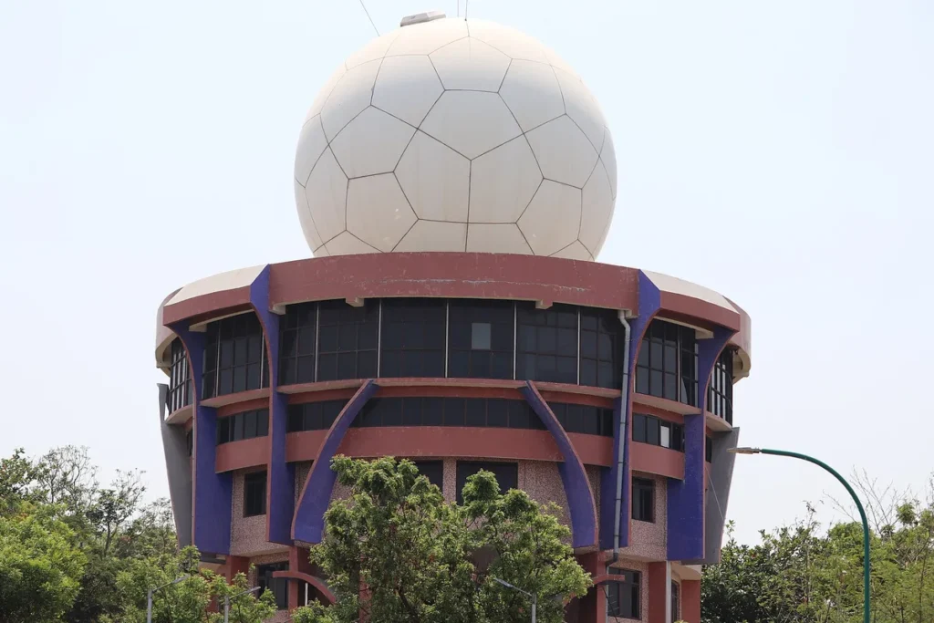
Image: IM3847, Wikimedia Commons, CC BY-SA 4.0
How to use this in Mains
If asked: How can better weather forecasting strengthen disaster risk reduction and agriculture in India? (GS-III)
Quote: “A forecast that says “heavy rain likely” is less useful than one that says “low-lying roads in these wards may flood after 4 pm; avoid travel”.”
Use it: A memorable example of impact-based forecasting; drop it in the body.
In the news
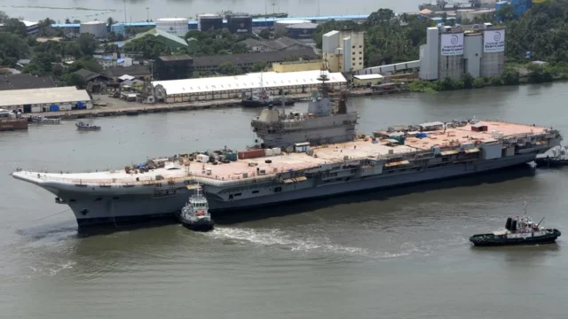
Swavlamban 2026: Navy’s fifth innovation and indigenisation seminar on 26–27 October
At a curtain raiser on 19 October 2026, Vice Chief of the Naval Staff Vice Admiral Ajay Kochhar announced the fifth edition of Swavlamban, the Navy’s flagship innovation and indigenisation seminar. It will be held on 26–27 October at the Manekshaw Centre, New Delhi, where the Navy will release the NAUSETU interface standards and a technology compendium.
19 Oct 2026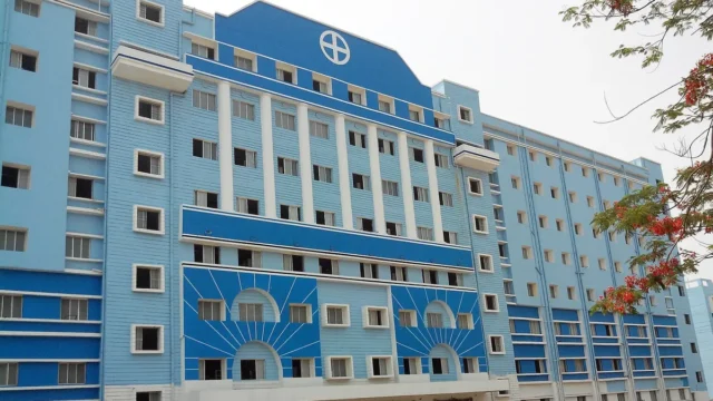
NMC withdraws MSMER-2023: medical colleges lose the fixed penalty rulebook, annual disclosure stays
The National Medical Commission (NMC) has de-notified the Maintenance of Standards of Medical Education Regulations, 2023 (MSMER-2023) by a notification dated 14 October 2026, published in the Gazette on 16 October. Its fixed penalties, including seat cuts and fines of up to ₹5 lakh for false records, go with it. The Annual Disclosure Report stays.
19 Oct 2026
Kufri Jamunia: ICAR-CPRI’s purple potato to fight hidden hunger
A PIB backgrounder of 18 October 2026 puts the spotlight on Kufri Jamunia, a purple-fleshed potato bred by ICAR’s Central Potato Research Institute and released in 2024. It has nearly twice the Vitamin C of a common potato and several times more zinc and iron, along with antioxidants called anthocyanins. The idea is clever: instead of asking people to change what they eat, make the food they already eat more nutritious. That is biofortification.
18 Oct 2026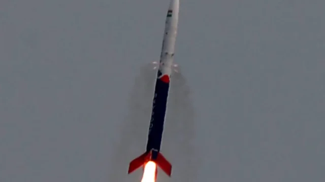
India’s space economy to grow from about $9 billion to $40-45 billion in 7-8 years
On 17 October 2026, Union Minister Dr Jitendra Singh said India’s space economy, worth about USD 9 billion today, should reach USD 40-45 billion in the next seven to eight years. He said the task now is to move from showing what India can do in space to building space companies that can compete and earn worldwide. For that, private firms need steady demand, quick approvals and patient capital. This is the story of space turning from a science mission into an industry.
18 Oct 2026