
Earthquakes: Causes, Seismic Waves, Magnitude and Intensity, India’s Seismic Zones and Preparedness (UPSC Notes)
Why the ground shakes
- Tectonic: stress builds along locked faults and is released suddenly; most quakes occur on the Circum-Pacific belt (about 80%), then the Alpine-Himalayan belt.
- Volcanic: magma movement.
- Induced: reservoirs (Koyna, 1967, is the classic Indian case), mining, fluid injection.
- Collapse: in caves or mines.
Seismic waves and the Earth’s interior
| Wave | Type | Medium | Note |
|---|---|---|---|
| P (primary) | Longitudinal | Solid, liquid, gas | Fastest; arrive first |
| S (secondary) | Transverse | Solids only | Absent beyond 103°, revealing a liquid outer core |
| Surface (L, Rayleigh) | Ground roll | Along the surface | Slowest, most destructive |
The shadow zone between 105° and 145° from the epicentre receives neither P nor S waves directly.
Measuring quakes
Magnitude is energy released: the Richter scale (logarithmic; each whole number is about 32 times more energy) and the now-standard moment magnitude. Intensity is damage felt at a place, on the Modified Mercalli scale (I-XII). One quake has one magnitude but many intensities.
India’s risk
About 59% of India’s land is prone to moderate to severe shaking. The Bureau of Indian Standards seismic code, revised in its 2025 edition, updated the zone map; under the older IS 1893 map India had four zones (II to V), with the whole Himalayan arc, the North-East, Kutch and the Andamans in the highest risk. Major events: Assam 1950 (M 8.6), Uttarkashi 1991, Latur 1993 (a “stable” shield area), Bhuj 2001, Kashmir 2005, Sikkim 2011, and Nepal 2015, felt across north India.
Preparedness
- Enforce building codes (IS 1893, IS 13920 for ductile detailing); retrofit schools and hospitals.
- NDMA earthquake guidelines; seismic microzonation of cities like Delhi and Guwahati.
- Early warning: IIT Roorkee’s system in Uttarakhand gives seconds of warning.
- Community drills, and Japan-style public awareness.
Earthquakes do not kill. Buildings do. That one line works in almost any Mains answer.
Earthquakes: UPSC angle
For UPSC CSE
Prelims: wave properties, shadow zone, magnitude vs intensity, induced seismicity. Mains GS-I/III: distribution of earthquakes, disaster management and building codes.
Earthquakes UPSC PYQs (Prelims)
Questions UPSC has actually asked, from the official papers. Pick an option to check yourself.
No Prelims question in the Battle IAS bank is directly on this topic yet.
Mains PYQs on this topic
Questions from the official UPSC Mains papers (2023-2026 in the Battle IAS Mains bank), newest first. Each links to a model answer.
- UPSC Mains 2025 · GS Paper I · Q7 · 10 marks
What are Tsunamis? How and where are they formed? What are their consequences ? Explain with examples.
- UPSC Mains 2025 · GS Paper I · Q16 · 15 marks
Discuss how the changes in shape and sizes of continents and ocean basins of the planet take place due to tectonic movements of the crustal masses.
Quick quiz
S waves do not pass through
They need a solid medium.Answer (c)
The point on the surface directly above the focus is the
Focus is underground.Answer (b)
Reservoir-induced seismicity is associated in India with
Koyna, 1967.Answer (b)
FAQs
What is the difference between magnitude and intensity?
Magnitude measures energy released at the source; intensity measures shaking and damage at a location.
Why are surface waves most destructive?
They travel along the surface, have large amplitude and last longer.
Can earthquakes be predicted?
Not precisely; probabilities and early warnings of a few seconds are possible.
Which areas of India face the highest risk?
The Himalayan belt, the North-East, Kutch and the Andaman and Nicobar Islands.
Spotted an error? Tell us. We correct within 48 hours.
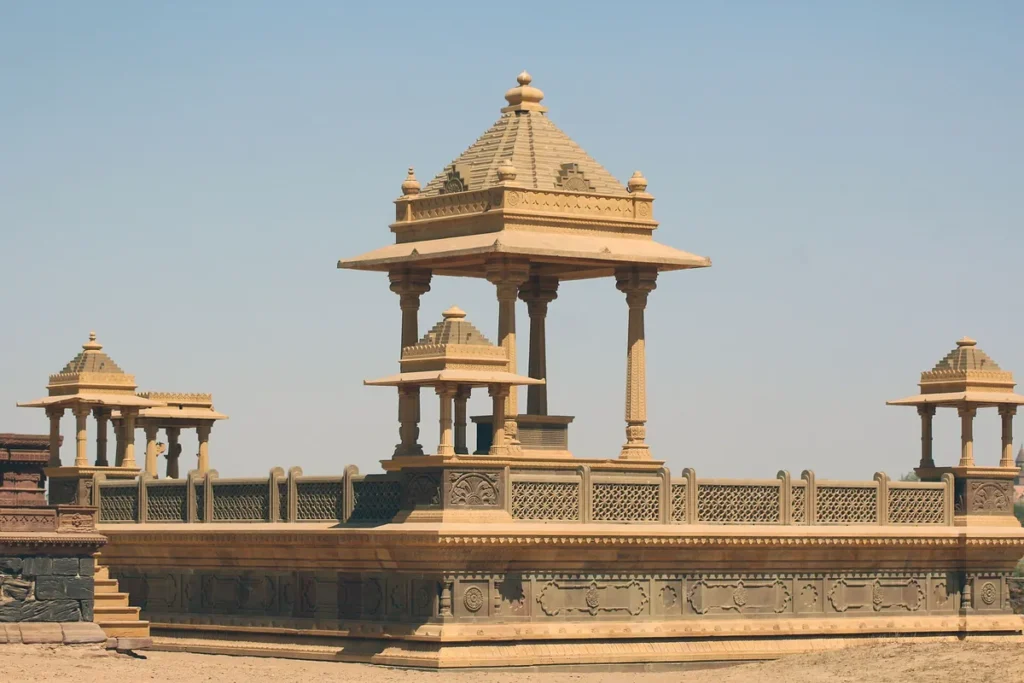
Image: Jugnu, Wikimedia Commons, CC BY-SA 4.0
How to use this in Mains
If asked: UPSC Mains 2025, GS-I: What are Tsunamis? How and where are they formed? What are their consequences ? Explain with examples.
Quote: “Tectonic: stress builds along locked faults and is released suddenly; most quakes occur on the Circum-Pacific belt (about 80%), then the Alpine-Himalayan belt.”
Use it: Use for the plate-boundary basis of quakes and tsunamis.
In the news
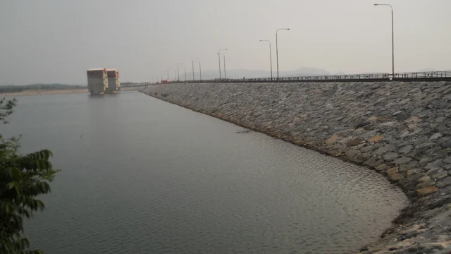
Pumped storage hydropower: India’s roadmap for 100 GW of ‘water batteries’ by 2035-36
A PIB backgrounder of 19 October 2026 explains how pumped storage projects (PSPs) will store solar and wind power for India’s grid. India runs 7.43 GW of pumped storage today, is building 15.87 GW more and has an assessed potential of 345.38 GW. A roadmap aims to add about 100 GW between 2025-26 and 2035-36.
19 Oct 2026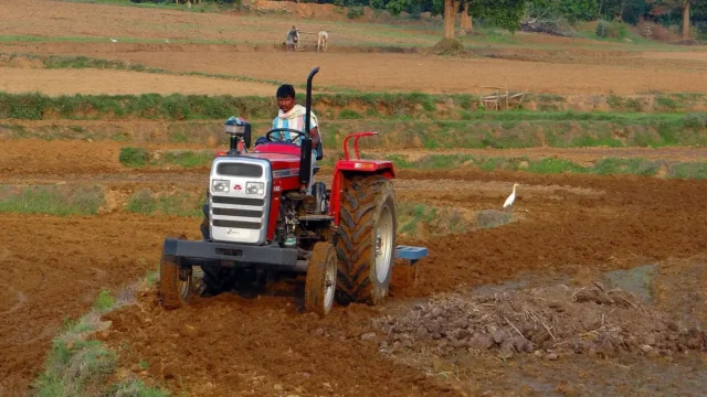
Khet Bachao Abhiyan: Centre reviews 22 October to 30 November farm campaign with States
On 17 October 2026 Union Agriculture Minister Shivraj Singh Chouhan reviewed preparations for the Khet Bachao Abhiyan with agriculture ministers of 11 States and UTs. The campaign runs from 22 October to 30 November 2026. About 4,150 teams of Krishi Vigyan Kendra and ATMA staff, with over 12,000 scientists and officials, plan around 1.5 lakh meetings with farmers on soil health, crop residue, balanced fertiliser use and key schemes.
17 Oct 2026
India to accede to the Southern Indian Ocean Fisheries Agreement (SIOFA)
On 14 October 2026 the Centre approved India's accession to the Southern Indian Ocean Fisheries Agreement. India, a Cooperating Non-Contracting Party since 2022, will become a full Contracting Party. Indian vessels can then fish squids, toothfish, alfonsino and other non-migratory stocks in the SIOFA area and join its scientific and compliance bodies.
14 Oct 2026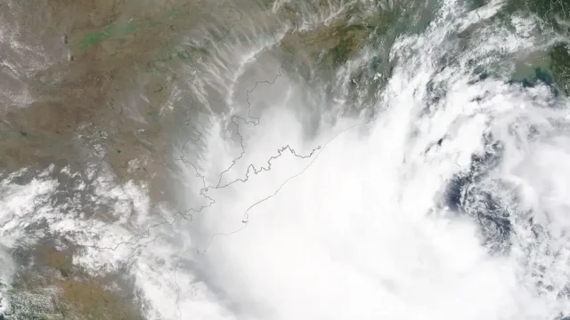
IMD launches a map-based Decision Support System for cyclone and marine warnings
On 12 October 2026 the India Meteorological Department dedicated a Cyclone Warning and Marine Weather Services Decision Support System to the nation. The WebGIS platform shows cyclone track, intensity, winds, rainfall, storm surge and district-wise warnings on one map for disaster managers and the public.
13 Oct 2026